Aerial photography in the work environment, can prove to be particularly effective and can capture the true reality or potential of a situation properly, providing data that cannot be easily obtained from the ground.
Equipment
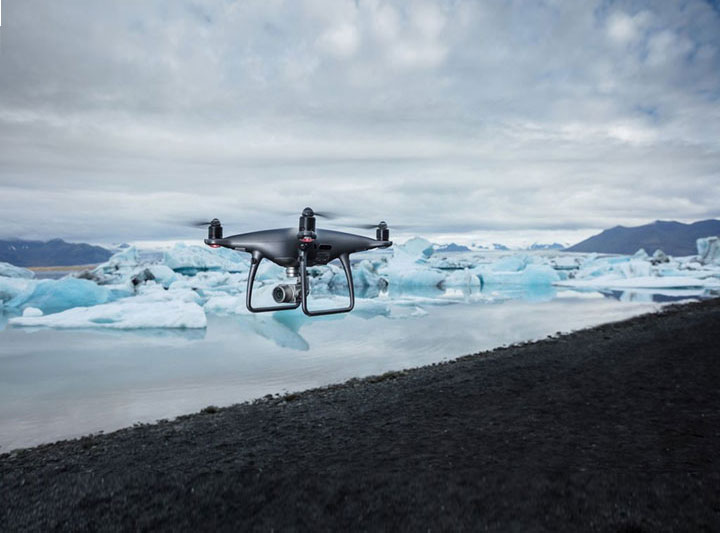
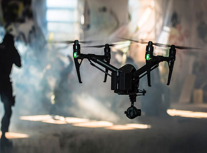
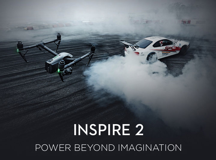
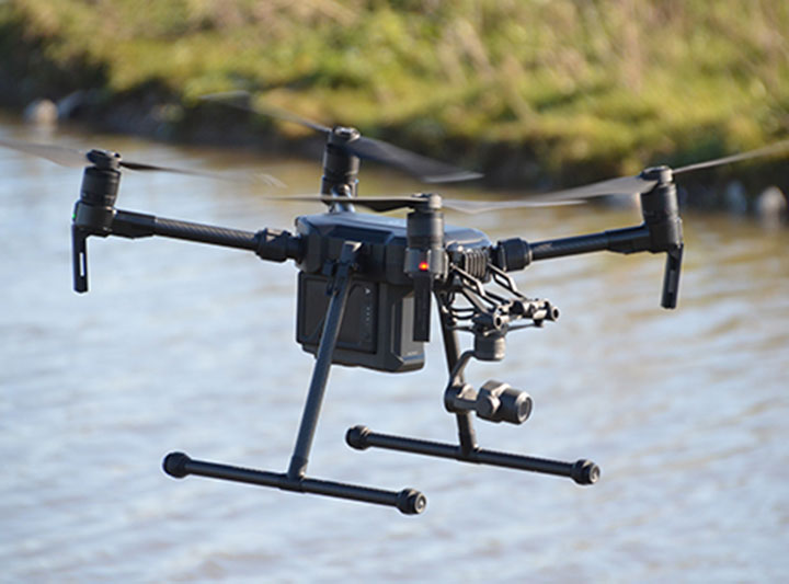
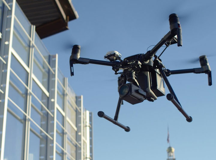
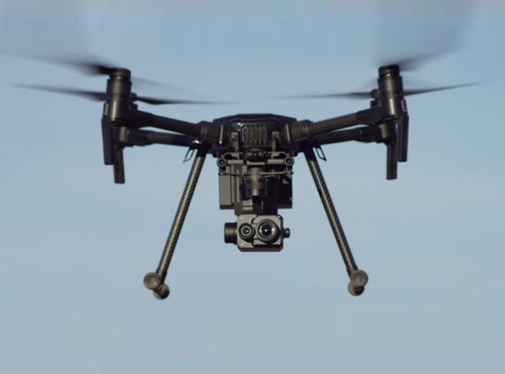
DSC-Ltd use the latest DJI range of UAS’s including the lightweight - Phantom 4 Pro series, the high speed - Inspire 2 – the chosen film industry aerial platform and the latest commercial - Matrice 200 V2 series aircraft. As aerial platforms, each drone design allows for differing flight conditions, allowing DSC-Ltd to provide services both day or night, during dry or wet conditions and in wind gusting up to 40 mph. All drones have autopilot build in return to home functionality, low battery warning systems and Autoland capability should a pilot become incapacitated.
In-addition, the Matrice 200 V2 series is now also fitted with ADS-B technology the latest in “aircraft collision avoidance”
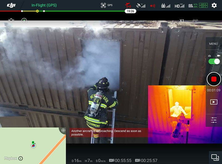
The AirSense system receives data from any approaching aircraft fitted with a ADS-B transceiver immediately informs the operator of approaching aircraft giving precise location, flight path, speed and altitude. The system then calculates the risk of collision, sending a series of warnings to the operator, allowing ample time for landing or a reduction in altitude of the drone to a safe distance.
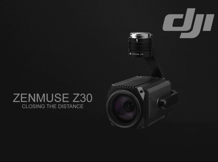
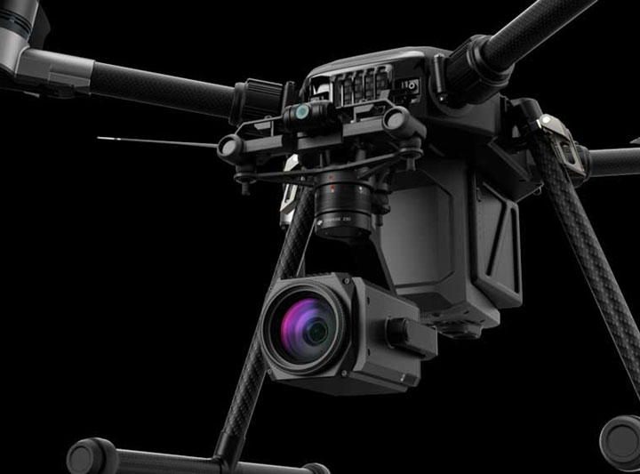
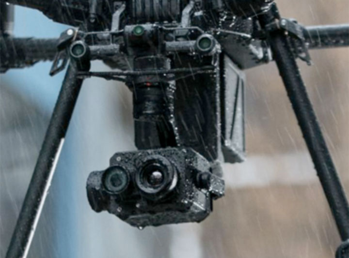
Whichever aircraft is used, when equipped with either the P4P – 20mega pixel 4k lightweight system, the X5S high quality digital, the Z30 inspection Zoom camera or the XT2 Thermal imaging system, you are ensured the highest quality equipment choice for every application.
Applications
Estate Agency – The full potential of a property can be realised with just one image, Main building, out buildings, gardens, and the surrounding area.
Construction and Site Survey
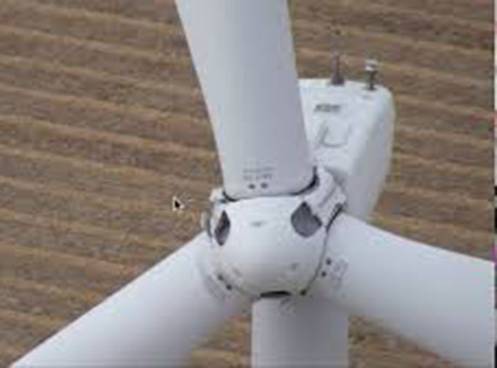
Whether it’s a new build project, a cutter, fragile roof or chimney inspection that’s required – aerial photography eliminates the need for expensive and risky working from height implications and expensive time consuming scaffolding.
Thermal Imaging
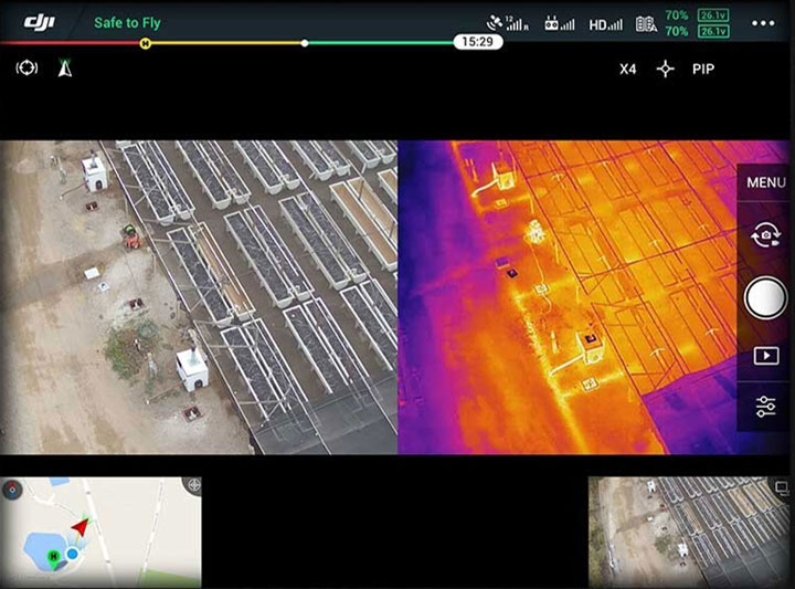
From detecting heat loss inefficiencies to power output reductions on solar panels. Thermography has a wide range of industrial applications such as to help and assist in carbon footprint improvements, identify and detecting electrical wiring faults, as well as the traditional search and rescue assistance, commonly associated with the equipment.
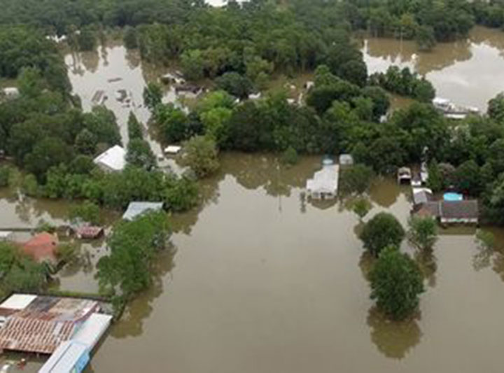
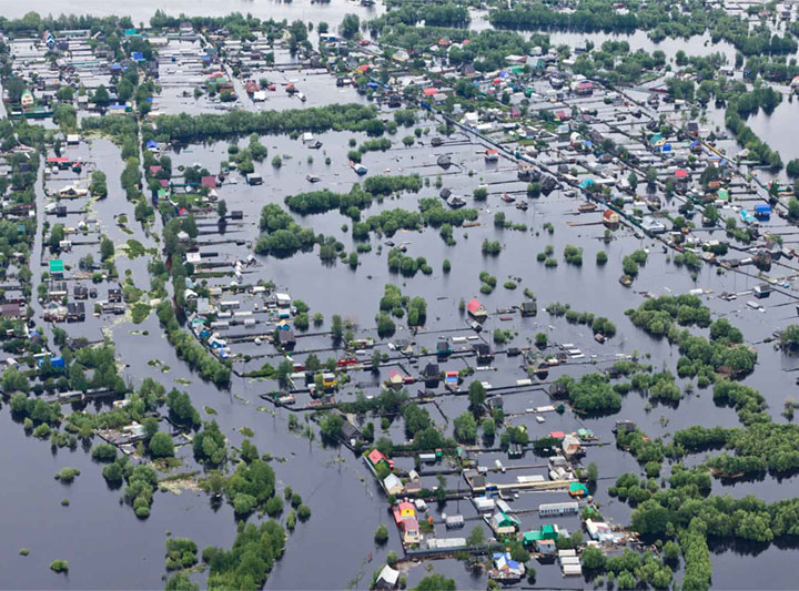
Flood Insurance Assessments
In the field, a drone can cover a much larger area, faster and easier than any person on foot, providing vital information about areas cut off by rising flood water, helping to assess the risks to live stock and property.
The combination of the DJI Pilot software and latest Cendence controller, allows for dedicated mission flights to be constructed, safely on the ground before the UAs even takes off. Grid mapping, linked photography and waypoint generation allows for recorded sophisticated 3D modelling of any area to be produced, time and time again.
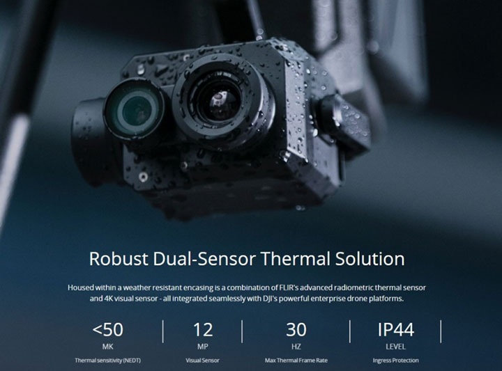
Thermal Assessments and Inspections – The sophisticated thermal imaging system of the XT2 camera makes light work of any thermal application. Whether the requirement is Powerline, Telephone Mast or electrical substation inspection, emergency services applications such as search and rescue or fire monitoring and control, the XT2 is the ideal camera choice.
Promotions – A marketing video which shows the scale of your operation, can set your business profile way above your competition, whether shot during the day or night, aerial videography can add a new dimension and perspective to your website or corporate presentations.
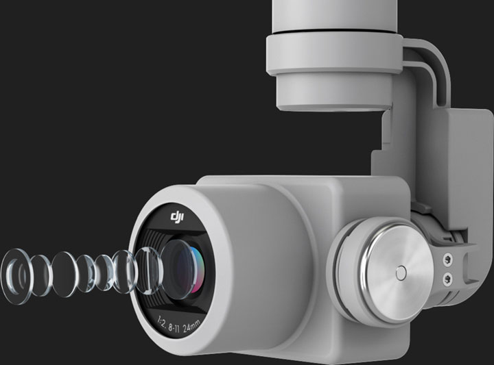
The P4P – 20mega pixel 4k lightweight system, utilises a 24 mm lens and 1” CMOS sensor, which is Gimbal Stabilised on all 3-Axis. This camera allows for an ISO range from 100 – 6400 for video production and ISO 100- 12800 for Photo work, whilst controlling the f stop range from 2.8 – 11 Aperture.
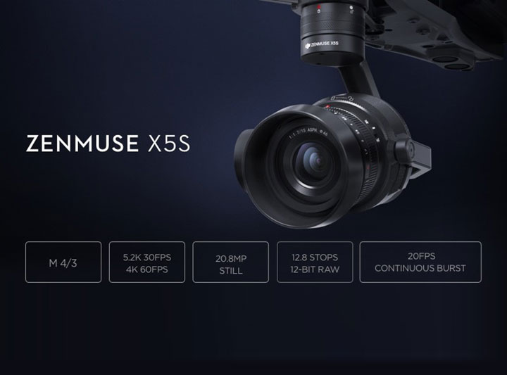
The Zenmuse X5S camera body, offers both versatility and flexibility as with any standard SLR digital camera. However, this 20.8 Mega Pixel camera also supports 5.2K - 30fps video recording, whilst in flight as well as every element of functionality that the professional photographer has at their finger-tips.
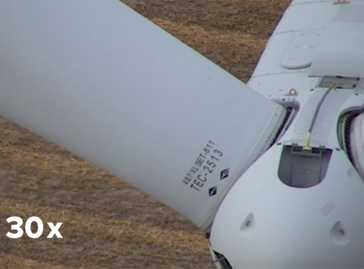
The Zenmuse Z30 Zoom calibrated camera features an Optical Zoom Lens, which provides a 30 x optical zoom and a 6 x digital zoom. Once more supporting live stream HD video to the flight operating system.
The Zenmuse XT2 aerial thermal and visual imaging solution has been designed for many commercial applications. Fitted with the Uncooled VOx Microbolometer thermal imager, this system allows for a 7.5-13.5 µm spectrum band, in either single shot or multi burst frame applications.